Contours
1. Representation of Relief Features
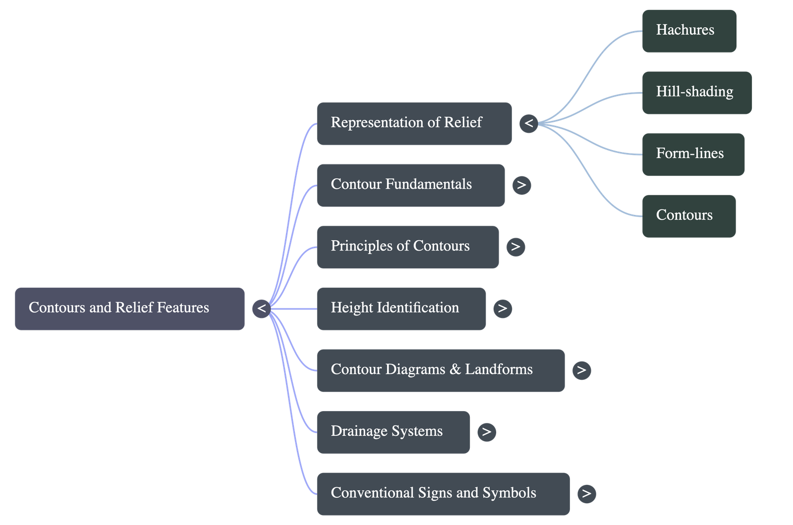
Relief refers to the actual configuration of the land, which includes its altitude and slope. Since maps are two-dimensional, three-dimensional earth features are shown using various techniques:
- Hachures: Short, disconnected lines drawn in the direction of the slope. Lines are thick and close for steep slopes, and thin and wide apart for gentle slopes. Flat regions are left blank. They are time-consuming and do not show exact heights.
- Hill-Shading: Shows relief through a 'light and shadow' effect, assuming a light source illuminates the area. Slopes facing the light are lighter; shaded slopes are darker. Mostly used in small-scale maps.
- Form-lines: Broken contour lines that join places of approximate same heights. Used when accurate elevation data is unavailable.
2. Contours and Terminology
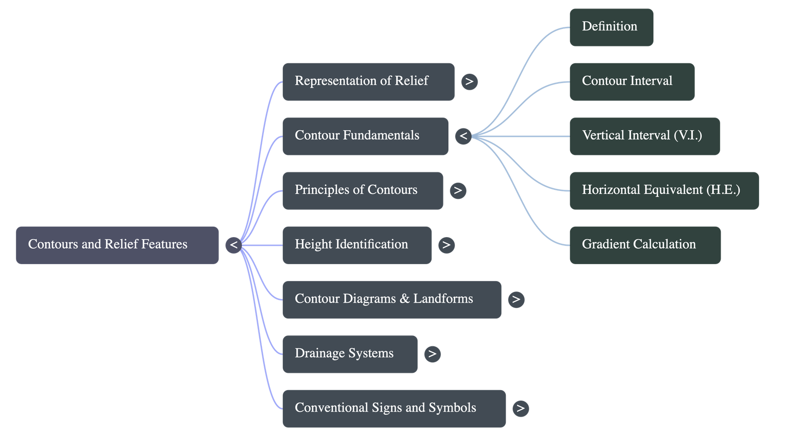
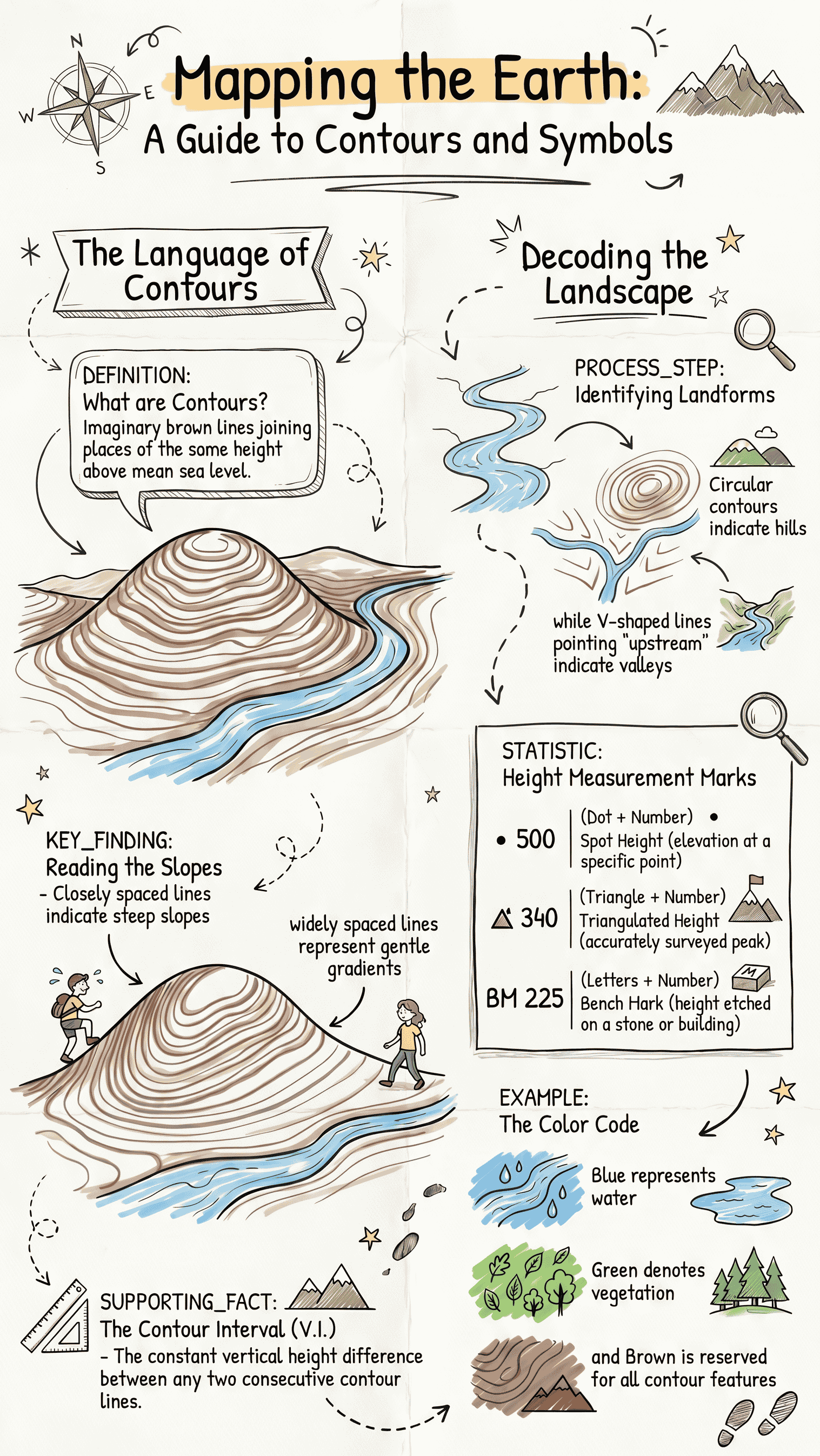
Contour lines are imaginary lines joining places that have the same height above mean sea level. They are shown by thick and thin brown lines.
- What they show: Elevation of land, steepness of the slope (close means steep, far apart means gentle), and the shape of the land.
- Contour Interval: The difference in height between two consecutive contours.
- Vertical Interval (V.I.): The vertical distance between any two contour lines.
- Horizontal Equivalent (H.E.): The actual horizontal distance between two points on two contour lines.
- Gradient (G): Refers to the steepness of a slope. It is calculated as the ratio of Vertical Interval to Horizontal Equivalent (Gradient = V.I. / H.E.).
3. Principles of Contours
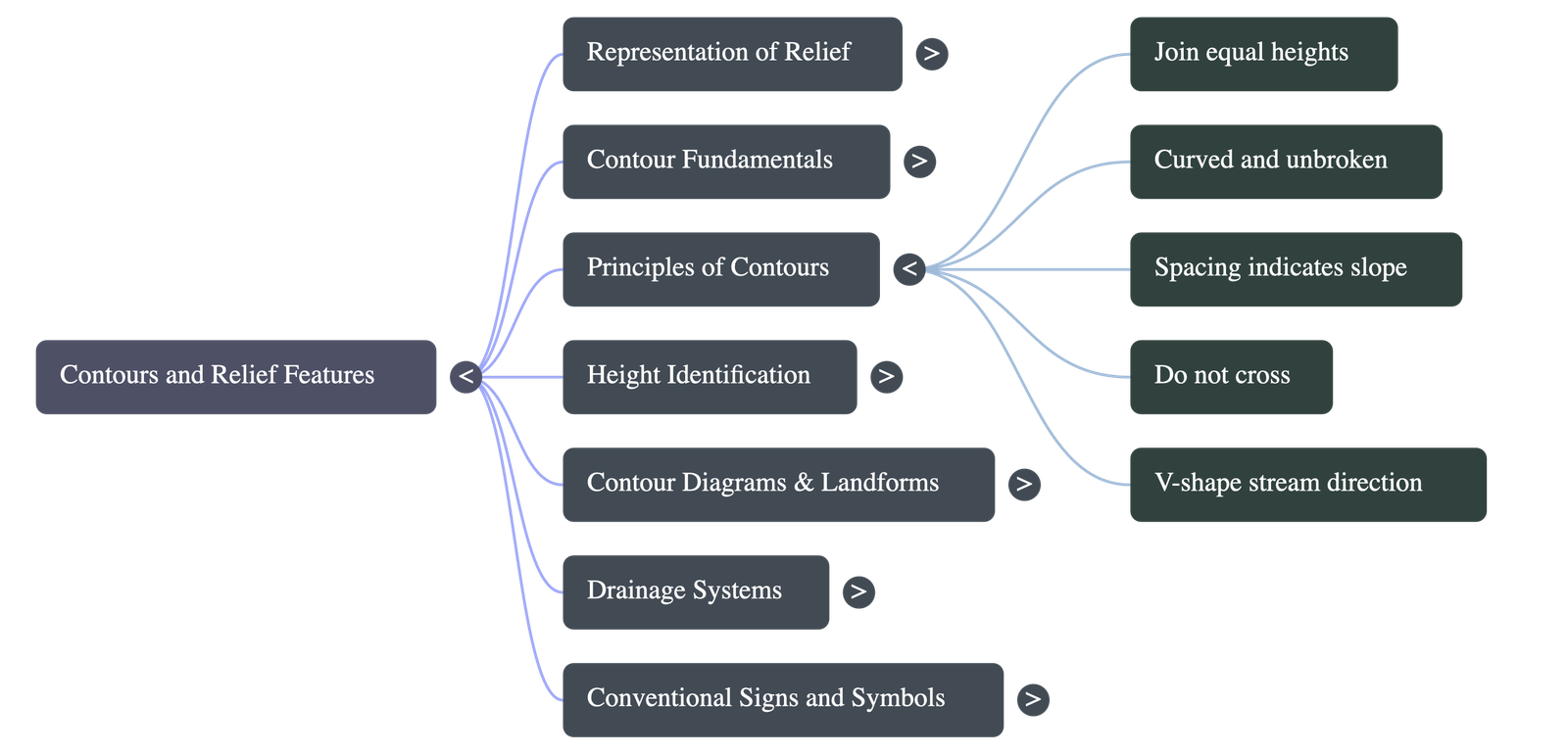
- They join places of identical heights above mean sea level.
- They are curved lines and are never broken.
- The spacing between them indicates the nature of the slope.
- They generally do not cross each other, except in special cases like cliffs.
- They show stream direction using V-shaped lines, where the "V" always points upstream (against the water flow).
- They either close on themselves or end at the edges of the map.
4. Identification of Landforms Marked by Contours
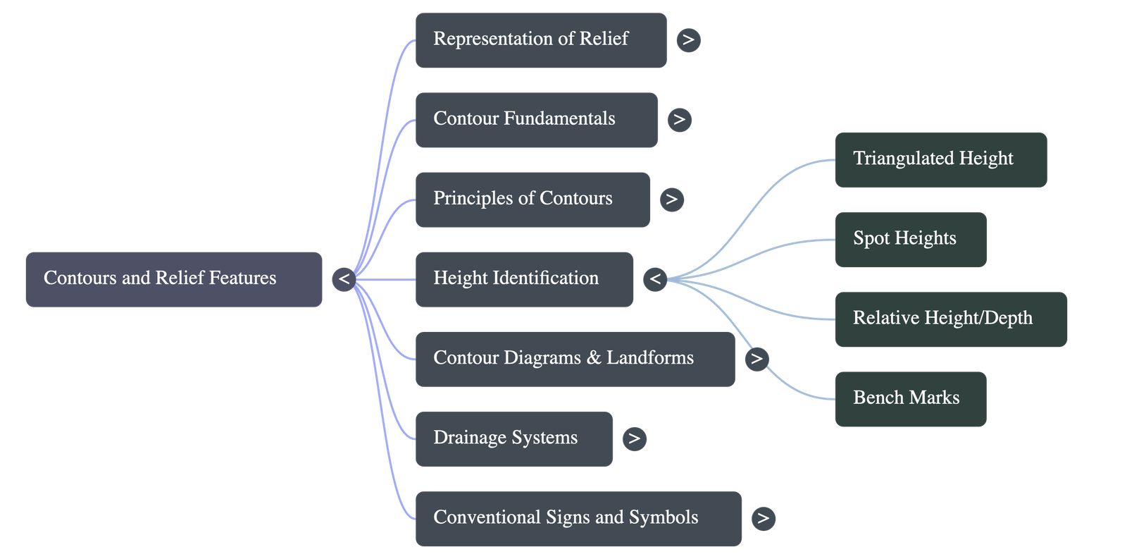
- Triangulated Height: An accurately surveyed point shown with a triangle and its height value.
- Spot Heights: The height of a specific ground point above mean sea level, indicated by a dot followed by a number.
- Relative Height/Depth: Difference between maximum and minimum heights in steep areas, represented by the letter 'r' (e.g., 3r). Denotes the height of an embankment or depth of a river/well.
- Bench Marks: Survey marks etched on stones or buildings to indicate accurate height. Marked as 'BM' followed by a number. It includes the height of the object it is marked on.
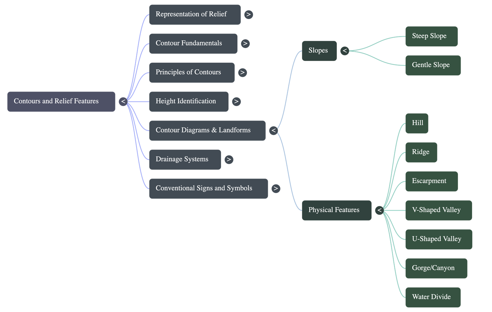
- Slopes: Steep slopes have closely packed contours; gentle slopes have widely spaced contours.
- Hill and Mountain: A conical hill has almost circular contours. Mountains are higher with more contour rings.
- Ridge: A long, narrow highland sloping steeply downwards, shown by elongated and closely spaced contours.
- Valleys: V-Shaped (upper river course), U-Shaped (broad flat floors formed by glaciers or middle river course), and Hanging Valley (tributary meeting a main glacier).
- Gorge/Canyon: Deep and narrow valleys with steep slopes and very closely spaced contours forming a narrow V.
- Water Divide/Watershed: A ridge separating tributaries draining into different directions.
- Escarpment: An abrupt face of a hill with a steep slope (scarp) on one side and a gentle slope (dip) on the other. Scarp and dip always occur together.
5. Drainage Systems and Patterns
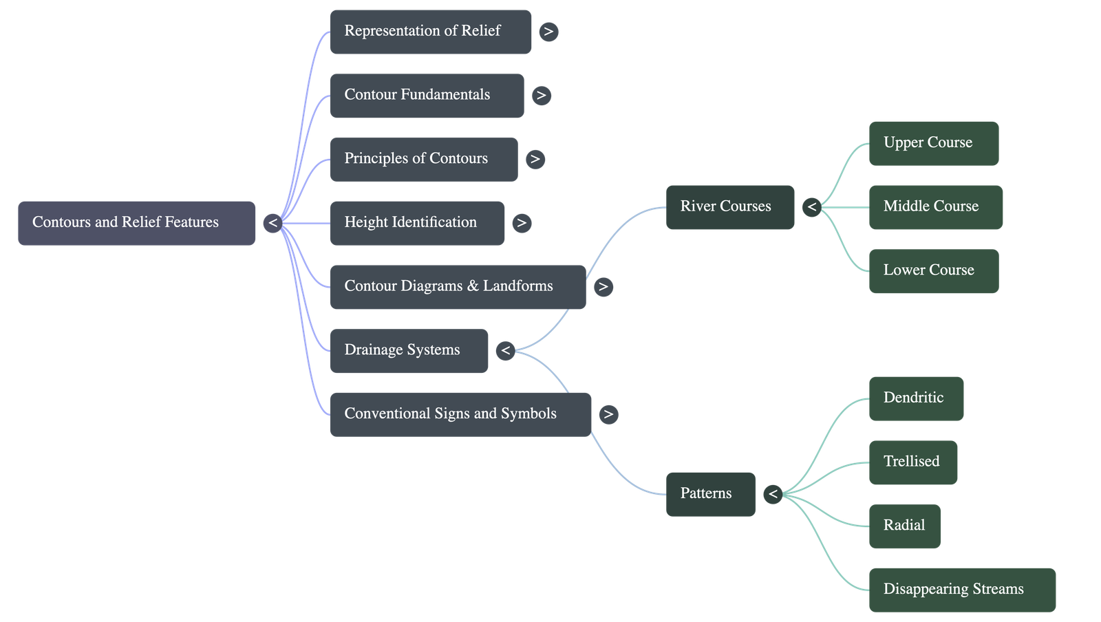
A river's course is divided into three stages: Upper (steep slopes, valleys), Middle (gentle slopes, flood plains, meanders), and Lower (gentle slopes, deltas).
- Dendritic Pattern: A tree-like branching drainage commonly found on flat plains (e.g., Indo-Gangetic Plains).
- Trellised Pattern: A rectangular pattern where streams join the main stream at right angles, seen in alternating hard/soft rocks or limestone regions.
- Radial Pattern: Streams spreading outwards in all directions like wheel spokes, usually from a conical hill or volcano.
- Disappearing Streams: Streams that dry up or sink into sand, shown by broken lines indicating underground drainage.
6. Conventional Signs, Symbols, and Hindi Terms
Symbols are standard worldwide to show plenty of map information clearly in a small space. Common Hindi terms found on Survey Maps include:
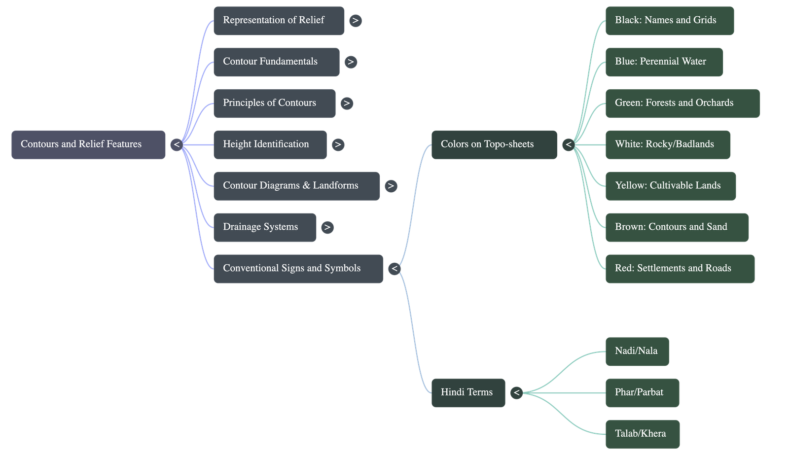
- Nadi: River
- Nala: Small stream
- Phar: Hill
- Parbat: Mountain
- Piao: Drinking water spot
- Police Chowki: Police outpost
- Talab: Pond/tank
- Khera: Kiln
- Tahsil/Taluk: District part
- Dak Bungalow: Govt. rest house
7. Colours in Contour Maps
Specific colours show the distributional pattern of different land uses:
- Black: Names, latitudes/longitudes, surveyed heights, dry streams, railway and telephone lines.
- Blue: Water related features like perennial rivers and perennial wells.
- Green: Forests, grasslands, orchards, and scattered trees.
- White: Rocky or badlands, broken grounds, and uncultivated lands.
- Yellow: Cultivable lands.
- Brown: Sand features, contour lines, and form-lines.
- Red: Grid lines (Eastings and Northings) and man-made features (roads, huts, temples, hospitals).
Do checkout all questions & answers of this chapter.