Quick Navigation:
| | | |
Interpretation of Topographical Maps
Syllabus Focus: Locating features with the help of a four-figure or a six-figure grid reference.
Maps and Their Significance
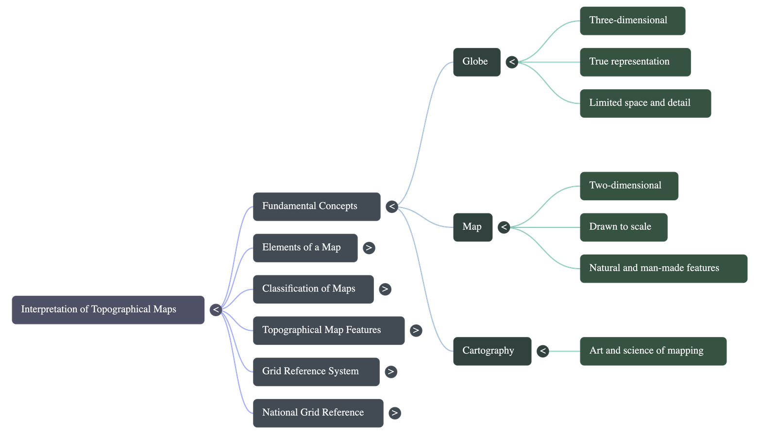
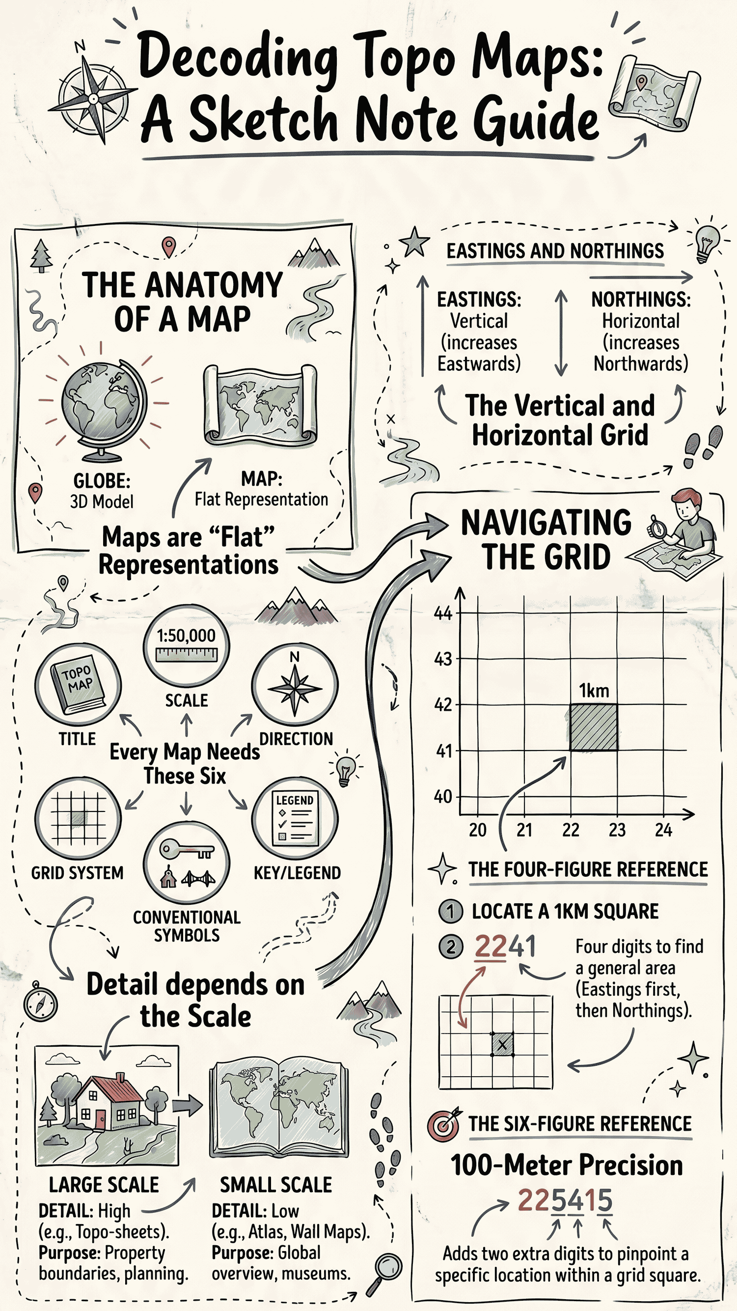
- The Challenge: The earth is a massive planet with varied physical features (mountains, rivers, oceans). Because of its huge size and spherical shape, the entire earth cannot be seen or perfectly represented on a flat surface all at once.
- Globes vs. Maps:
- A Globe is a 3D, true representation of the earth, showing correct shapes and directions. However, it lacks space to show detailed physical features and topographic details.
- A Map is a representation of the earth's surface (or a part of it) showing natural or man-made features, drawn to scale on a flat surface.
- Cartography: The art and science of mapping special features and geographical phenomena on a uniform basis.
Elements of a Map
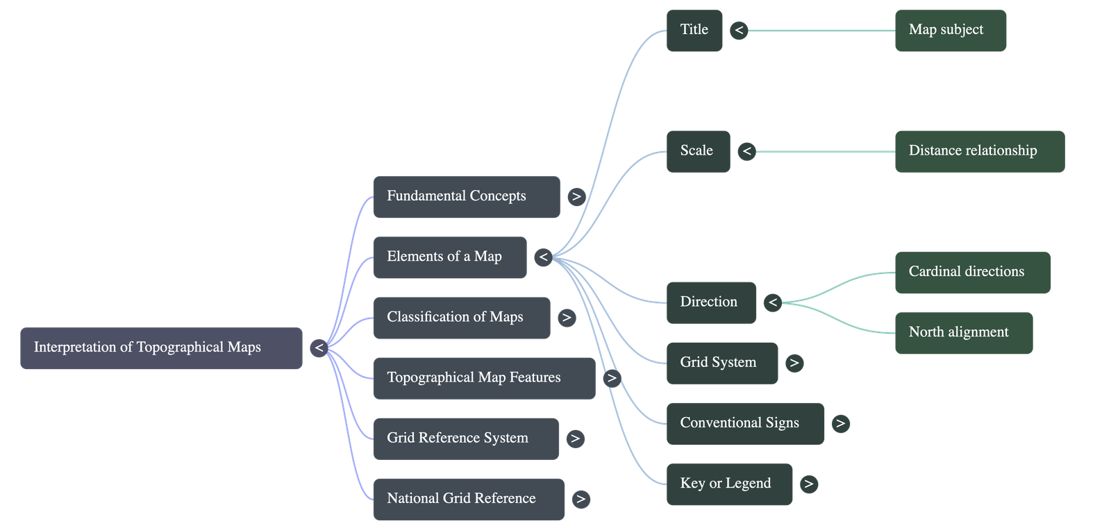
Every map has six basic elements that make it easy to read and understand:
- Title: Indicates the subject of the map (e.g., natural vegetation, climate).
- Scale: Denotes the ratio or relationship between map distances and the actual ground distances.
- Direction: Refers to the cardinal directions (North, South, East, West). Conventionally, the top of the map points North.
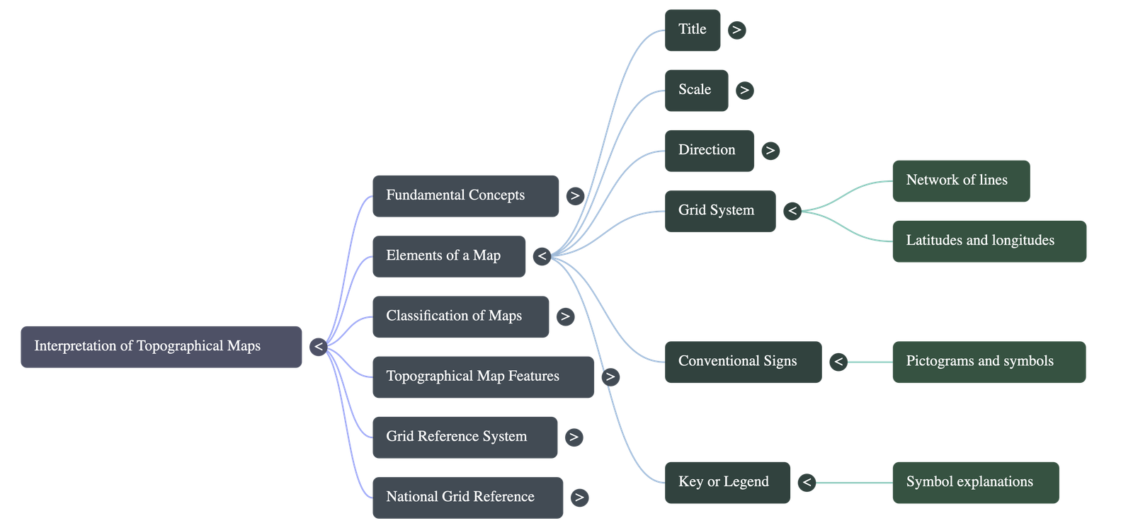
- Grid System: A network of intersecting lines (usually latitudes and longitudes) used to pinpoint exact locations.
- Conventional Signs or Symbols: Standardized graphic symbols that have evolved over centuries to represent objects like roads, railways, rivers, and mountains.
- Key or Legend: A box usually at the bottom that explains the meaning of the symbols used in the map.
Types of Maps
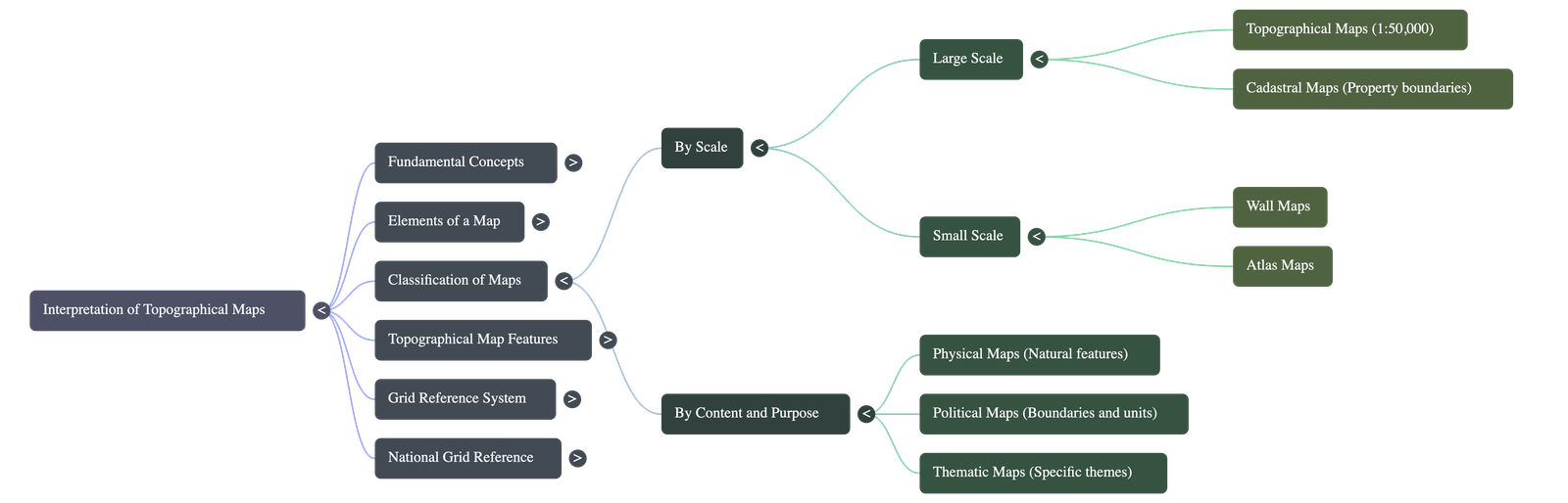
I. Based on Size / Scale
- Large Scale Maps: Show detailed features of smaller areas.
- Topographical Maps: Prepared by the Survey of India (scales of 1:50,000 and 1:25,000). Show natural (hills, rivers) and man-made (buildings, railways) features. Useful for planning, tourism, and defense.
- Cadastral Maps: Maintained by the government to show boundaries of fields and properties for legal ownership and tax purposes (e.g., Village maps, City plan maps).
- Small Scale Maps: Represent large areas with generalized details.
- Wall Maps: Used in classrooms and museums to show large areas at a glance.
- Atlas Maps: Represent a whole country or the world on a single sheet, best suited for educational purposes.
II. Based on Purpose and Content
- Physical Maps: Provide details about natural landscape features.
- Political Maps: Portray countries, states, national/international boundaries, and administrative divisions.
- Thematic Maps: Focus on a specific theme like population density, climate, vegetation, industries, or agriculture.
Topographic or Ordnance Survey Maps
- Meaning: Derived from Greek words 'topos' (place) and 'grapho' (to draw). They show the surface of the earth in detail.
- Ordnance Survey Maps: Originally drawn in Britain for the army. In India, they are prepared and published by the Survey of India, Dehradun.
- Features Depicted:
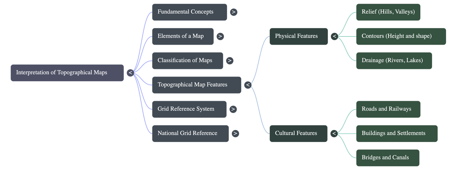
- Physical Features: Valleys, hills, plateaus, etc., shown using Contours (lines joining places of the same height above mean sea level).
- Cultural/Man-made Features: Roads, railways, canals, etc., shown using Conventional Signs.
Grid Reference System
Because standard latitudes and longitudes cannot accurately pinpoint locations on large scale maps, a square grid reference system is used. The origin is the South-West corner of the map.
Eastings and Northings
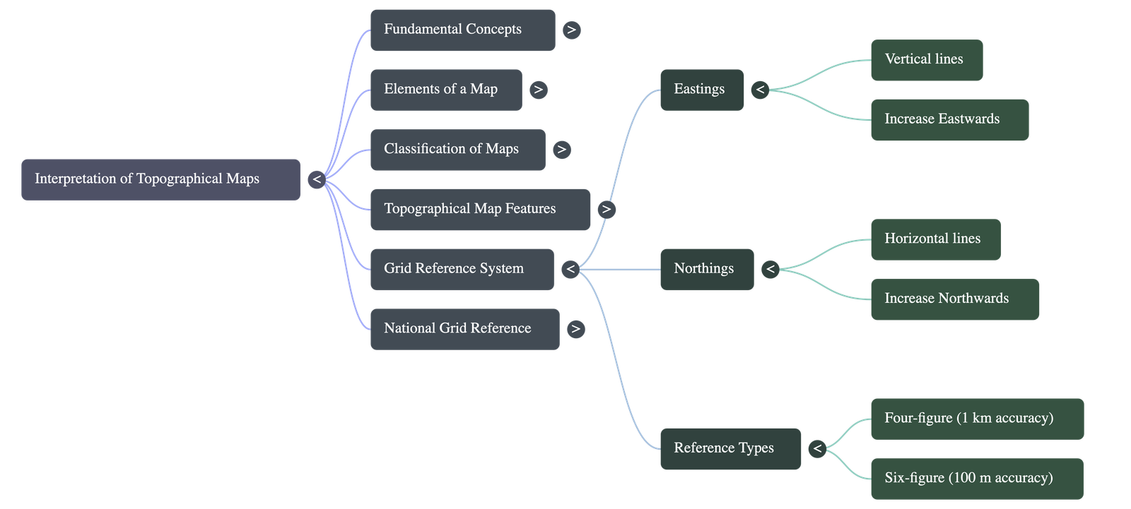
- Eastings: Vertical lines running North to South. Their value increases Eastwards. They are always read first.
- Northings: Horizontal lines running East to West. Their value increases Northwards. They are read second.
Types of Grid References
- Four-Figure Grid Reference: Used to locate a feature that lies within a particular 1 km square (e.g., large lakes, settlements).
Format: First two digits are Eastings, last two are Northings (e.g., 4385). - Six-Figure Grid Reference: Used to pinpoint exact locations to the nearest 100 meters (e.g., temples, post offices, wells).
Format: The square is divided into 10 equal parts vertically and horizontally. The 3rd and 6th digits represent these finer divisions (e.g., 265902).
National Grid Reference
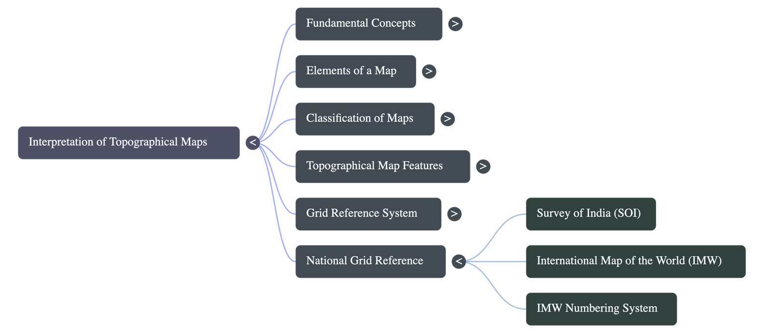
- The Survey of India established the 'Open Series Map' as per the National Map Policy of 2005.
- It relies on a new numbering system based on the International Map of the World (IMW).
- Numbering Rules for India:
- Because India is entirely in the northern hemisphere, the prefix 'N' (used in the global IMW system) is omitted.
- The map uses a number denoting a 6°×4° region (e.g., 43).
- This region is subdivided into 1°×1° squares marked by alphabets A to X (e.g., G43S).
- Each 1°×1° square is further divided into 16 smaller squares of 15'×15' (minutes), numbered serially from 1 to 16.
- Example Map Sheet Number: G-43S-10.
Do checkout all questions & answers of this chapter.
Quick Navigation:
| | | |
1 / 1
Quick Navigation:
| | | |